


🚀 Elevate your surveying game with pinpoint precision and pro-level aerial imaging!
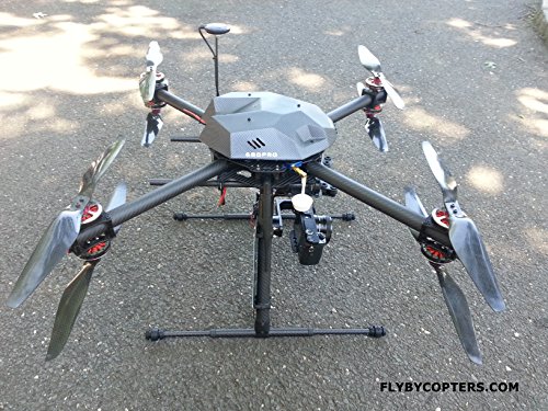
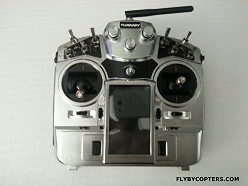
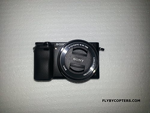
The Surveying/Aerial Mapping X8 Quadcopter Drone combines a Pixhawk 32bit autopilot, RTK Multi-GNSS GPS with 2cm accuracy, and a Sony A6000 high-resolution camera to deliver professional-grade aerial mapping and surveying. Featuring a carbon fiber frame, 3-axis brushless gimbal, and a comprehensive ground station with live telemetry and FPV, it enables precise, automated flight missions with real-time data overlay. Ideal for professionals demanding accuracy, efficiency, and stunning geotagged imagery.
Trustpilot
2 days ago
1 month ago
